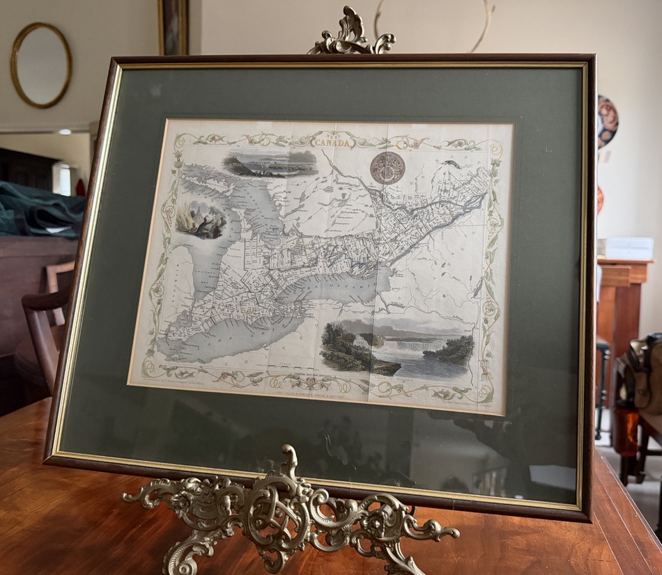
1851 Map of West Canada (South West Ontario)
Prints, Paintings & Mirrors |
$175
A lovely 1851 illustrated map of West Canada (now Southwest Ontario) by John Tallis (1817-1876).
This map features hand-colouring and views of Kingston, Niagara Falls, and a native encampment.
Framed, the map measures 19” x 16”. The map itself is approximately 13.5” x 10.5”.
Very good condition.